

InnovMetric supports the digital transformation of your 3D measurement processes. Contact us to initiate your digital journey.
Always close to you
InnovMetric is the pioneer of point cloud-based inspection and invented the concept of a universal 3D metrology software platform. We are proud to contribute to the success of the largest industrial manufacturing companies with the support of our 550 professionals working in our various international offices.
"At InnovMetric, you are at the heart of our company. Delivering the highest quality of products and services is our main focus every day, as we understand the importance of our solutions to help you achieve your business objectives."
Marc Soucy, PhD
InnovMetric Co-founder and President
Products
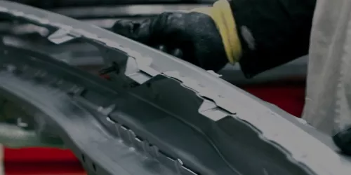
Supporting all your industrial manufacturing organization’s 3D measurement processes
Case Studies
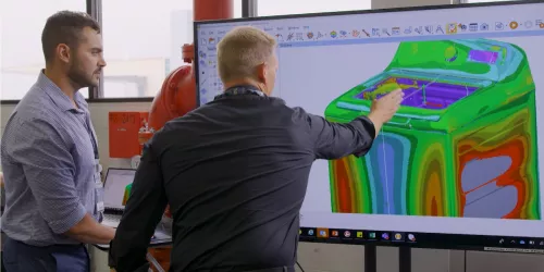
Customers in the industry praise the power and flexibility of the PolyWorks® solution

Support
Our mission is only completed when your measurement task is successfully accomplished
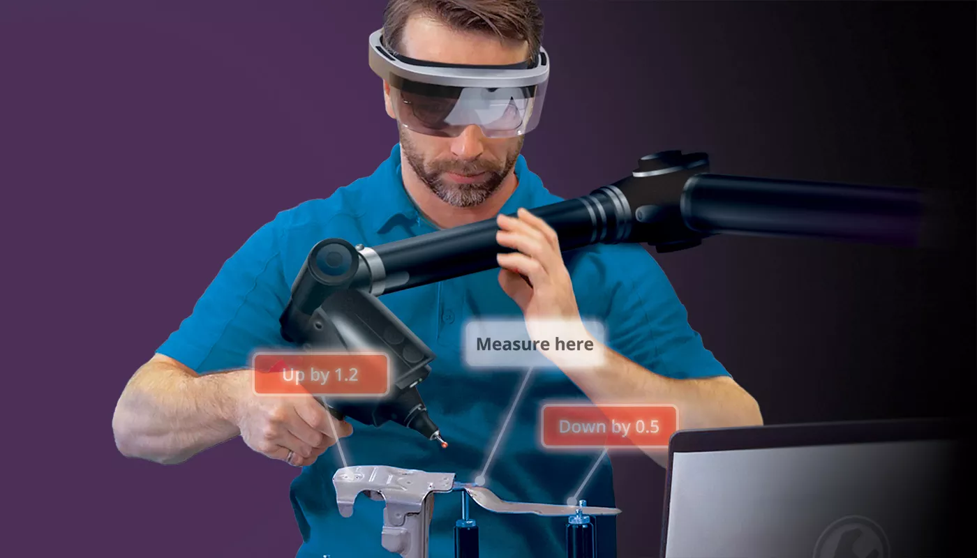
3D Dimensional Analysis & Quality Control

The free 3D dimensional investigation solution that brings 3D measurement results in the hands of your engineering and manufacturing teams.
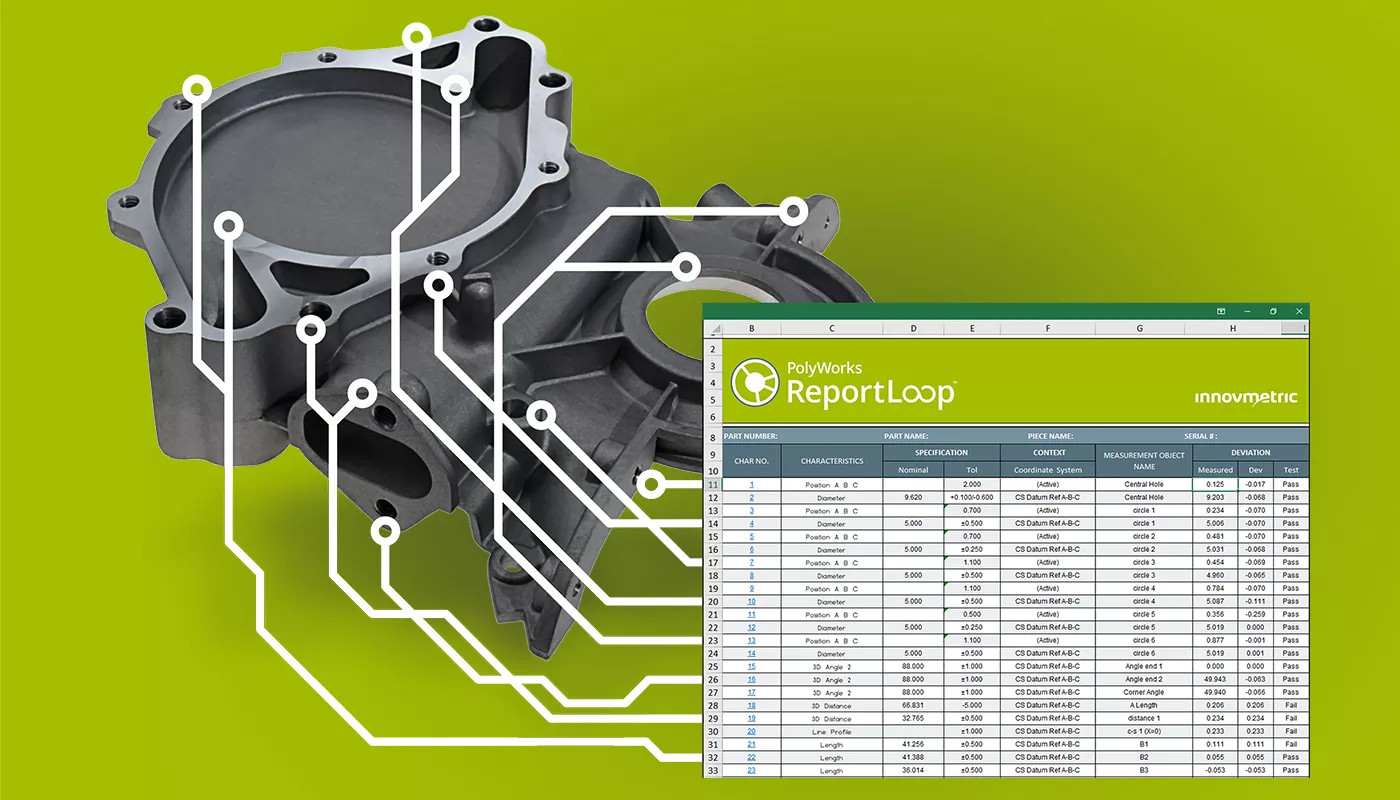
The digital interoperability solution that integrates inspection data in Excel for reporting and advanced analysis.
Upcoming Events
News

Keeping Decisionmakers in the Loop through Digital Transformation

Case Studies
Futaba Industrial Co., Ltd.
GE Appliances

Bushwacker